-
 Policy Brief: Post-CFR Recognition Policy Support How can the recognition of CFR rights translate into positive and equitable livelihood and conservation outcomes? Much will clearly depend upon the collective decision-making processes adopted at the local level and the policy support provided post-recognition.
 -
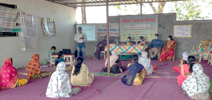
 Community Forest Resource (CFR) Rights Training Workshop for CFRMC members in Umarkhed, Yavatmal (MH) Date: 22nd February, 2025
 -
 Policy Brief: Convergence of CFRR with NTFP-based livelihoods Under project on Training, Capacity Building and Support for Decision-Making for CFRR Recognition & Management in Bastar District
 -
 Community Forest Resource (CFR) Rights Training Workshop, Kalpavriksh, Bhomale (MH) Date: 31st August, 2024
 -
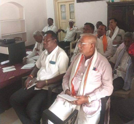
 Training for Elected Representatives Date: 15th December, 2023
 -
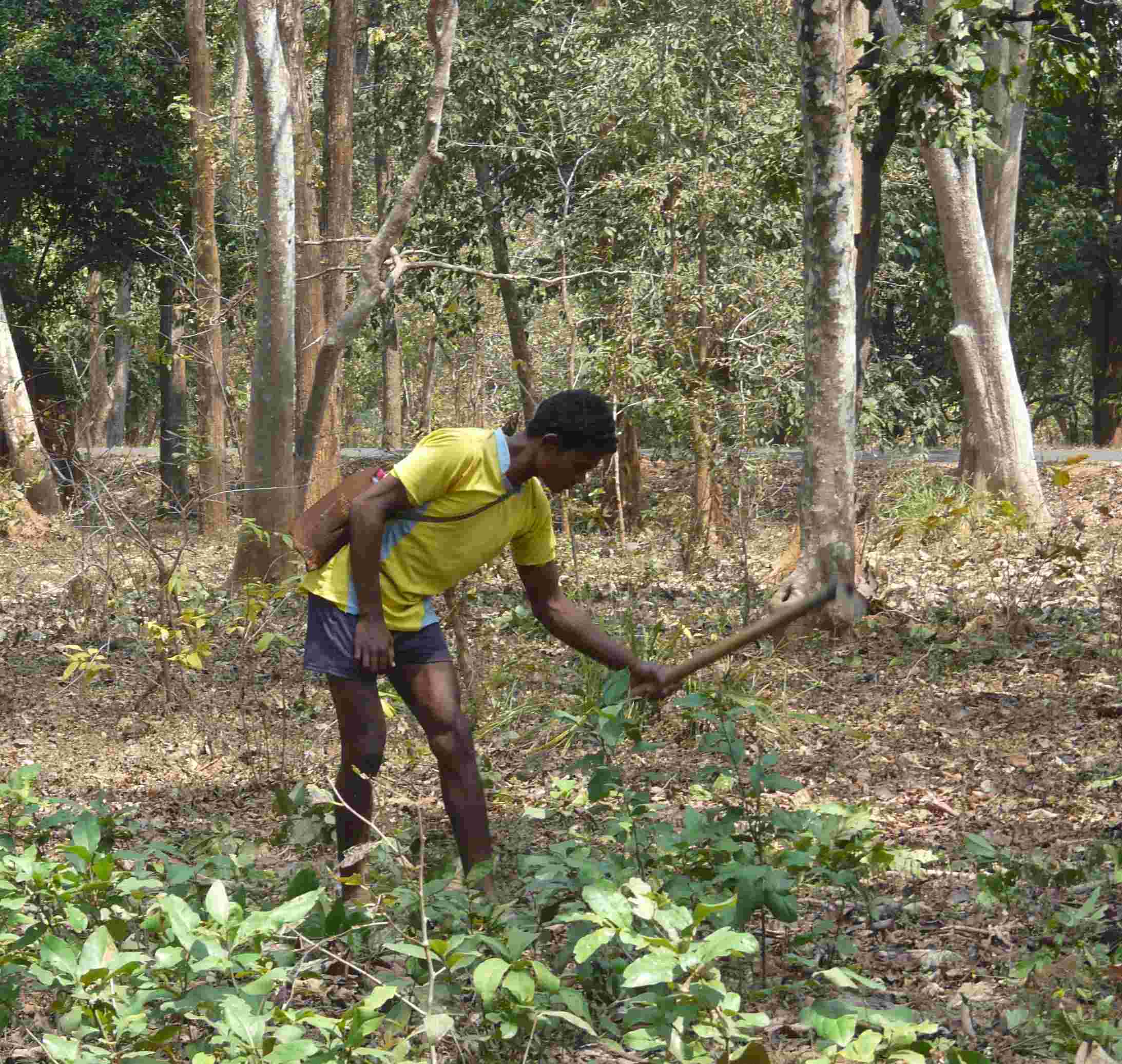 Silvicultural Practices in the Management of Diospyros melanoxylon (Tendu) Leaf Production: Options and Trade-offs The study focuses on comparing management practices for tendu leaf production in Gadchiroli District, Maharashtra
 -
Forest governance: From co-option and conflict to multilayered governance? The article discusses a multi-layered forest governance framework in the post-FRA context
-
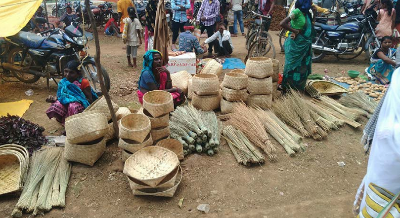
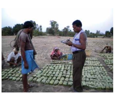 Co-operative procurement and marketing of Tendu leaves in Madhya Pradesh: Image and reality Assessment of the working of the MP MFP Federation-led Tendu leaf procurement