Aamcho CFR Mapping
Community Forest Resource Rights: Potential and Progress
-
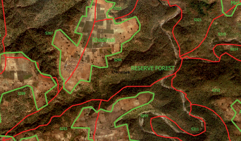 Estimating and Mapping CFR Potential This study estimates (a lower bound for) the potential area that could come under CFR rights and the locations of the villages with this CFR potential in four important central Indian states.
 -
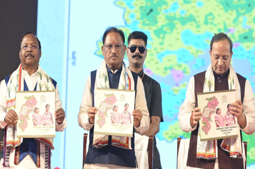 Chhattisgarh CFR Potential Atlas Date: 15th November, 2024
 -
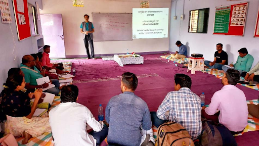 ‘Training of Trainers’ for CFR Management Plan preparation – Report of workshop held in Yavatmal district, Maharashtra Date: 7th to 8th December, 2021
-
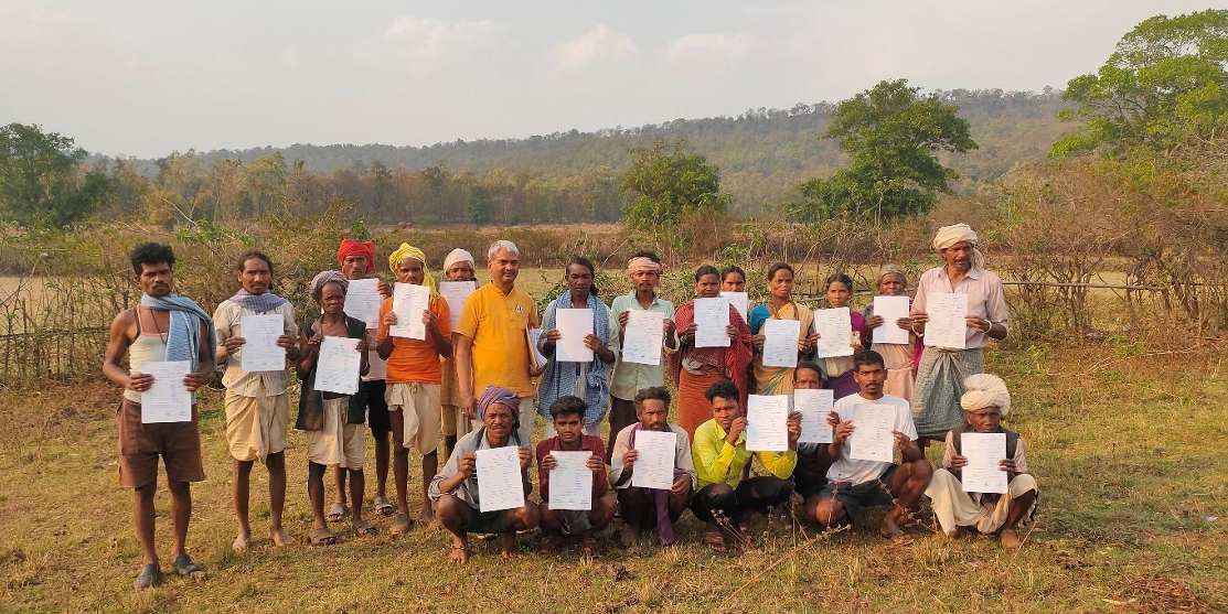 Securing IFR for the forest villages of Madhya Pradesh using geospatial technology Geospatial tools can solve the long pending problem of IFR, by equipping FRCs and gram sabhas to take charge of the claim-making process.
 -
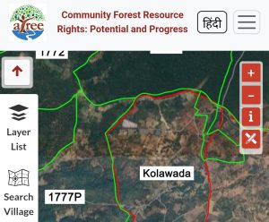
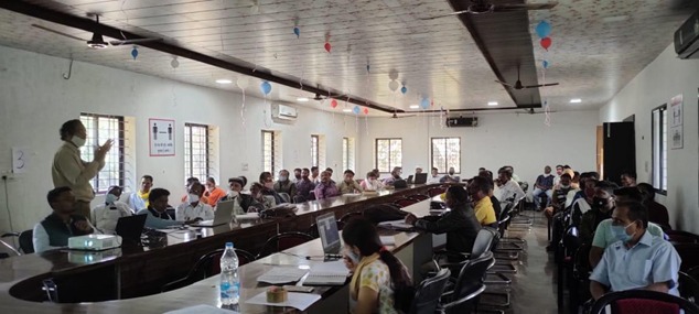 Trainings on WebGIS for Claiming CFR Rights in Bastar District How do we as researchers help in the implementation of a progressive but complex piece of nature resource legislation? The implementation of the Forest Rights Act of 2006, especially its community rights provisions, has raised this question for us repeatedly.
 -
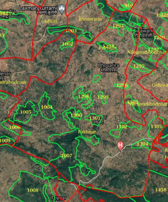 Mapping the potential of Community Forest Resource Rights in central India The article is based on ATREE's work on methodologies to estimate the potential area that could come under CFR rights and the locations of villages with CFR potential in Madhya Pradesh, Chhattisgarh, Jharkhand, and Maharashtra.