Workshop on understanding administrative boundaries and the use of maps in CFRR recognition
Date: 20th August, 2026
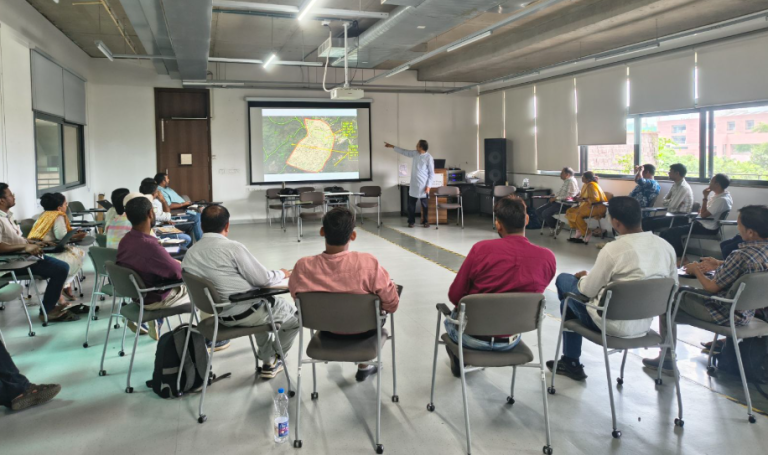
On 20th August, Dr. Sharachchandra Lele and Mohit Mahajan conducted a workshop for senior members and leaders of a set of organizations working on FRA in Madhya Pradesh. It was organized jointly by PRADEEPAN and ATREE at Azim Premji University, Bhopal.
With district administrations across MP in the process of CFRR recognition, it has become critical for civil society organizations — who work closely with both communities and the administration — to ensure the proper identification of CFRR areas and the accurate demarcation of their boundaries. In this context, the workshop aimed to help senior organizational members understand the complexities of land records and administrative boundaries and to better equip them to prevent errors in CFRR titles.
Dr. Sharachchandra opened the session with a presentation on how administrative boundaries have evolved, explaining why village boundary patterns differ across central India. This was followed by a session on the different types of CFRR areas based on the interface between forest and revenue boundaries, which helped participants understand the applicability and limitations of revenue records like Nistar Patrak and Settlement records.
Subsequently, Mohit Mahajan oriented the participants on using tools such as ATREE’s CFR Web GIS and the MP Bhulekh Portal, followed by a hands-on exercise to detect errors in sample CFRR titles using these tools.
The workshop concluded with a discussion on the challenges related to filing and processing CFRR claims in MP and how they may be addressed.